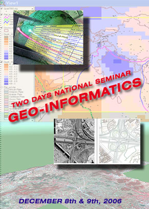
About
the Seminar
Informatics
develops new uses for information technology in order to solve specific
problems in areas as diverse as biology, fine arts, and economics.
Informatics is also interested in understanding the impact of technology
on people. For this reason, some have called informatics
"technology with a human face."
Geoinformatics is a science which develops and uses information
science infrastructure to address the problems of geosciences and
related branches of engineering. Geoinformatics is related to geocomputation
and to the
development and use of geographic information systems.
The three main tasks of geoinformatics are:
-
development
and management of databases of geodata
-
analysis
and modeling of geodata
-
development
and integration of computer tools and software for the first two
tasks.
Geoinformatics
is possible through a range of models in such fields as mathematics,
computational geometry, graph theory, and statistics.
Geoinformatics technologies include Geospatial Information Systems
(GIS), Global Positioning System (GPS), and Remote Sensing.
Today, numerous applications are benefiting from geoinformatics techniques
and tools and with advances in geoinformatics and other technologies,
such as mobile computing and wireless networks, the emergence of many
new applications is expected. For Example: geoinformatics applications
are in-car navigation systems, automatic vehicle location systems,
locationbased services, transportation planning and engineering, environmental
modeling and analysis, telecommunications, agriculture, farming, and
public health.
GIS - Geospatial information system: a complete information
system, which primarily holds cartographic, imagery, and related intelligence
data.
Geospatial technology refers to hardware, software and devices that
allow correlating data to locations on the earths surface. Together
these technologies provide a powerful tool for performing a vast array
of functions.
The Global Positioning System (GPS) is a satellite-based navigation
system made up of a network of 24 satellites placed into orbit by
the U.S. Department of Defence. GPS was originally intended for military
applications, but in the 1980s, the government made the system available
for civilian use. GPS works in any weather conditions, anywhere in
the world, 24 hours a day. There are no subscription fees or setup
charges to use GPS. GPS uses these "man-made stars" (satellites
and their ground
stations
) as reference points to calculate positions accurate to a matter
of meters. In fact, with advanced forms of GPS you can make measurements
to better than a centimeter! In a sense it's like giving every square
meter on the planet a unique address. GPS receivers have been miniaturized
to just a few integrated circuits and so are becoming very economical.
And that makes the technology accessible to virtually everyone.
Real-world applications of GPS fall into five broad categories.
-
Location
- determining a basic position
-
Navigation
- getting from one location to another
-
Tracking
- monitoring the movement of people & things
-
Mapping
- creating maps of the world
-
Timing
- bringing precise timing to the world
Scope
of Geoinformatics - Soon GPS will become almost as basic as the
telephone.
These days GPS is finding its way into
-
Cars
-
Boats
-
Planes
-
Construction
equipment
-
Movie
making gear
-
Farm
machinery
-
Laptop
computers.
GPS
technology has matured into a resource that goes far beyond its
original design goals. These days scientists, sportsmen, farmers,
soldiers, pilots, surveyors, hikers, delivery drivers, sailors,
dispatchers, lumberjacks, fire-fighters, and people from many other
walks of life are using GPS in ways that make their work more productive,
safer, and sometimes even easier.
REMOTE
SENSING & GEO-INFORMATICS APPLICATIONS
AREAS
| Natural
Resources |
Watershed |
| Forestry |
Environment |
| Infrastructure |
Land
Information System |
| Geology
and Mining |
Health |
| Education |
Regional
Planning |
| Desasters |
Training |